By Air, Land, And Sea: China's Maritime Power Projection Network
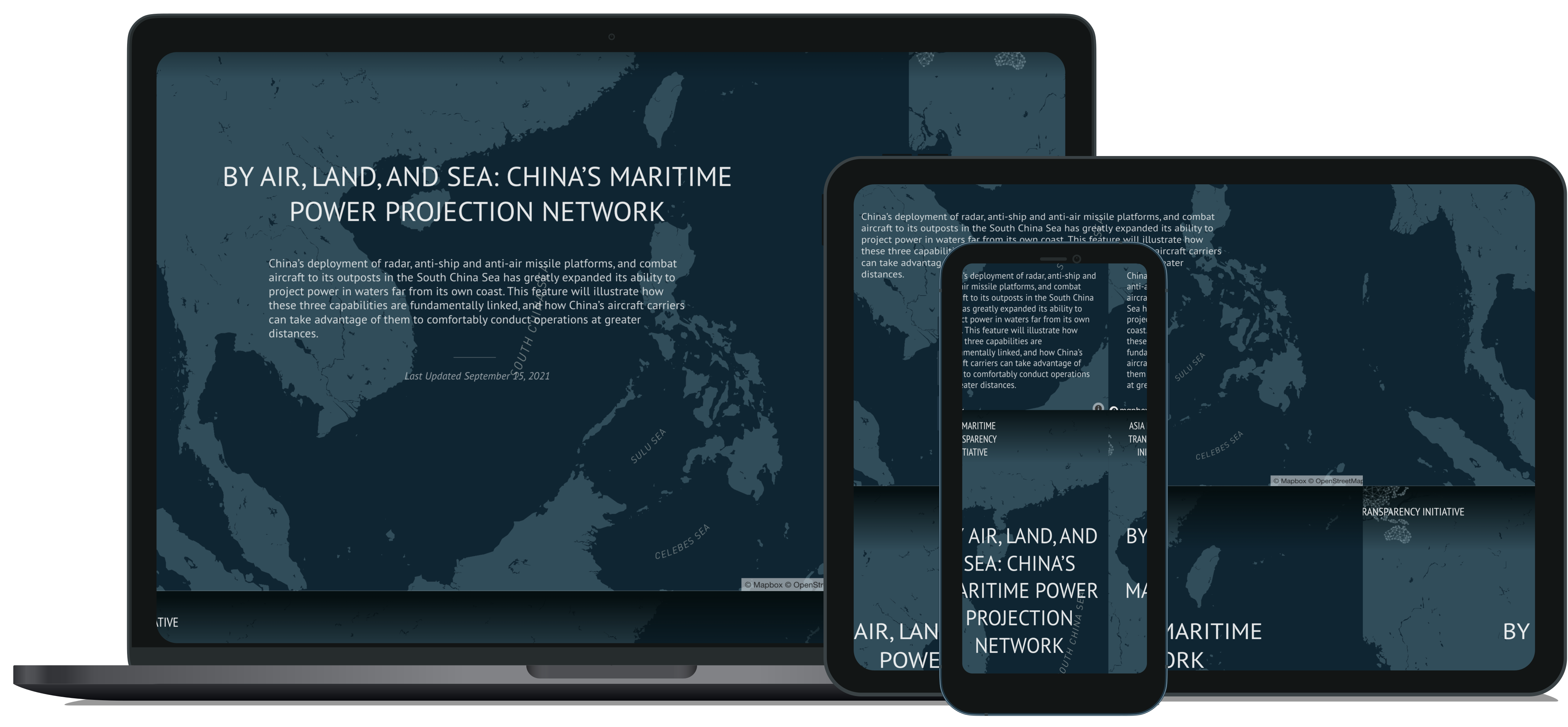
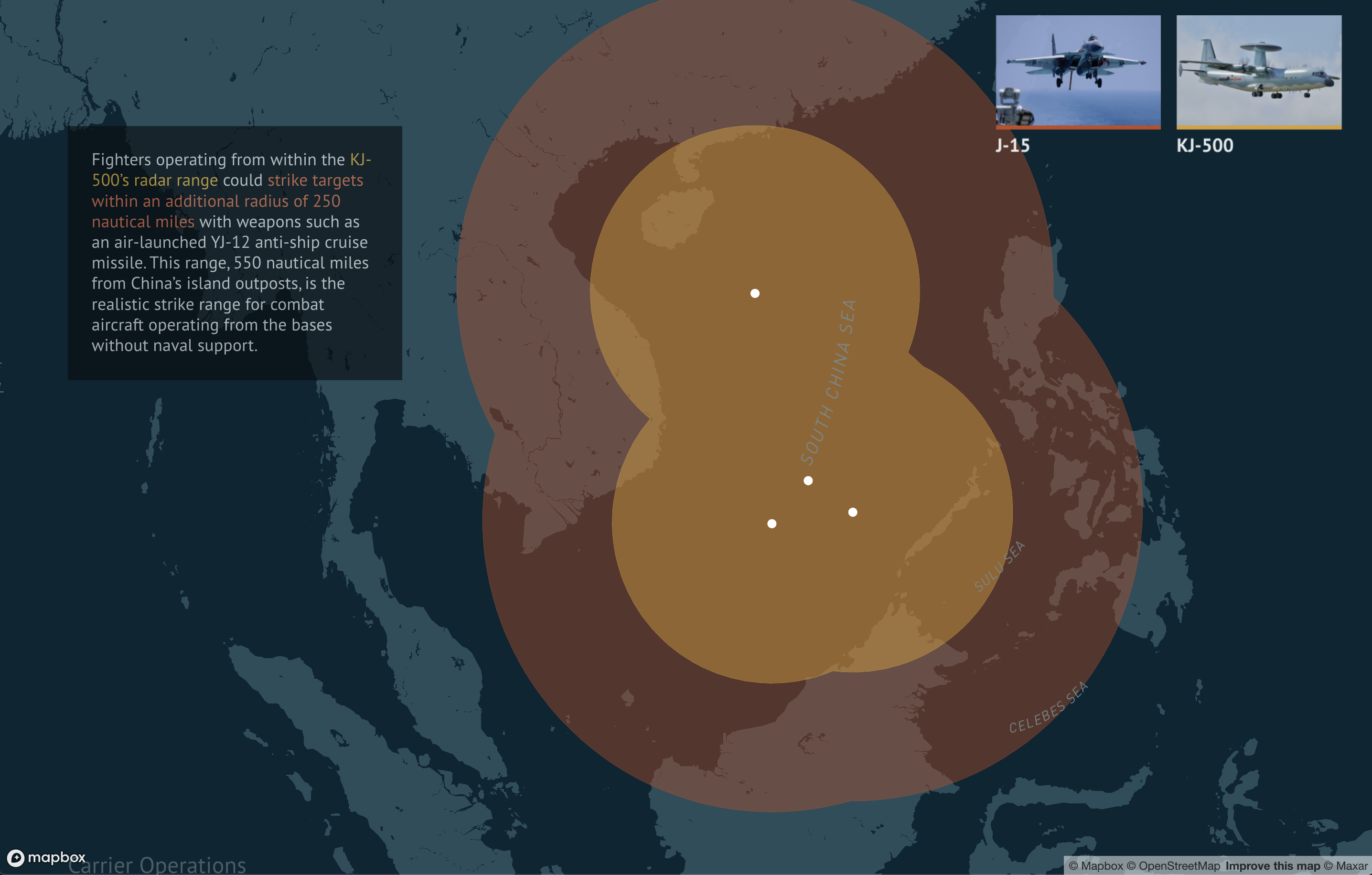
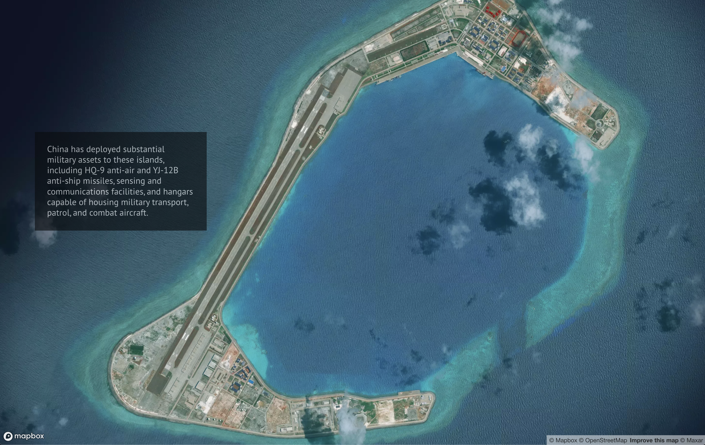
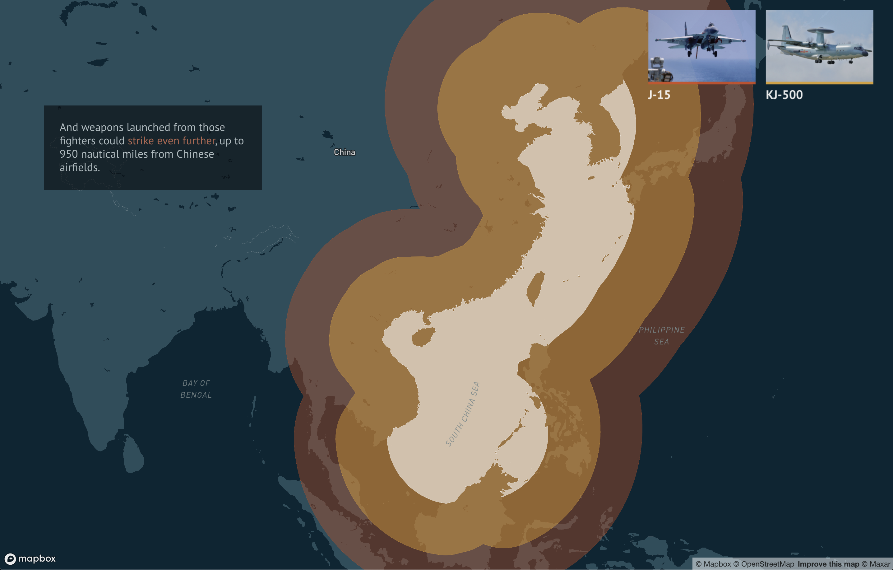
A scrolly-telling map illustrating the relationships between China's radar, anti-ship, and anti-air missile platforms in the South China Sea. Created with Mapbox.JS and Maxar Satellite Imagery for the CSIS AMTI Project.
View Project